Geophysical Survey
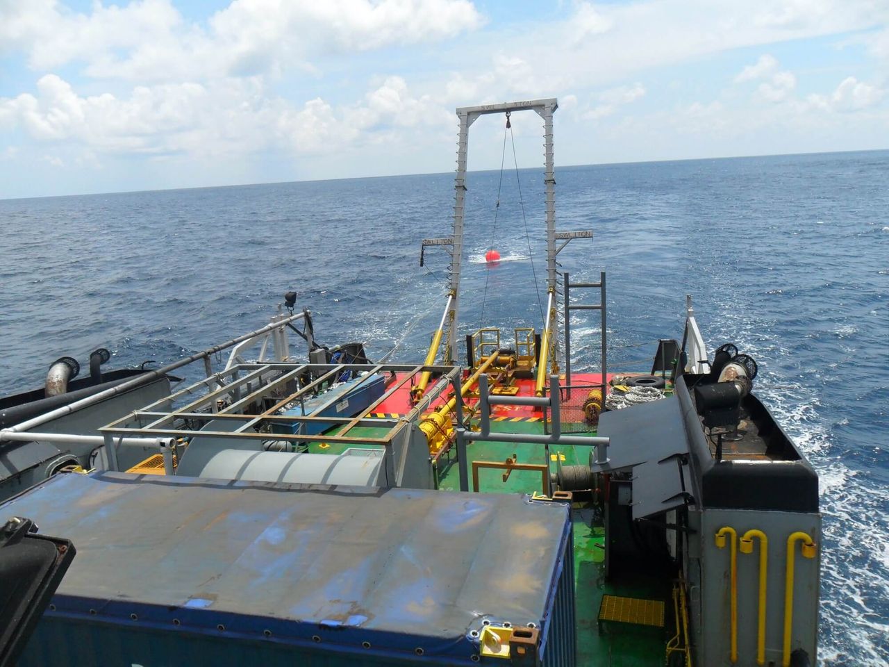
A geophysical survey is essential for efficiently assessing the potential of marine environments ahead of development.
We conduct full geophysical interpretation, analysis and reporting of sub-strata conditions, supported by additional seismic data, maps and onshore borehole data.